
|
Arborfield
|
|
Properties
Related sites:
Reading Road and Swallowfield Road School Road, Link Way, Melrose Gardens, Eversley Road Eversley Road near the Brickworks |
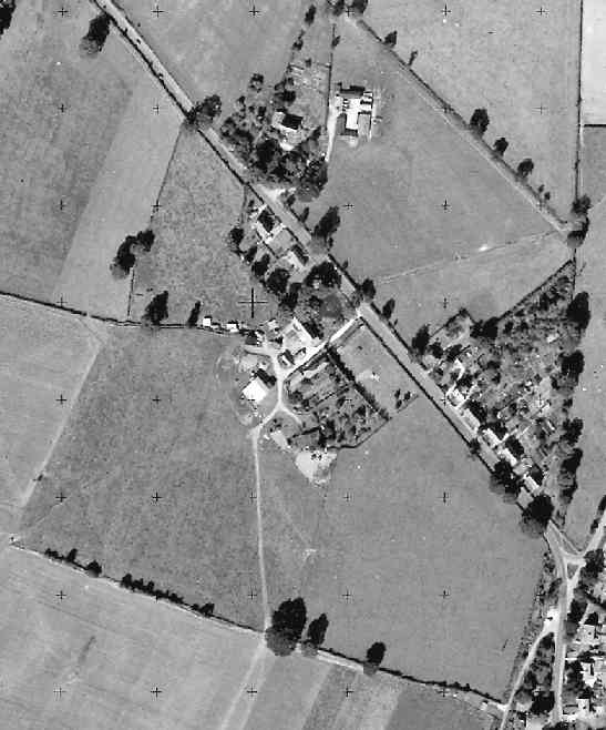
This is part of an Ordnance Survey aerial photo of Arborfield Cross, Arborfield Court, Ducks Nest Farm and part of Arborfield Garrison, dated 30th August 1961, ref. OS/61034 frame 72, supplied by the National Monuments Record, English Heritage, now out of copyright, and reproduced under licence from Ordnance Survey. Note the '+' marks, used when creating a map from the photo.
Here is Eversley Road, showing on one side Targett's Farm and the row of houses down to Langley Common Road, and on the other side, Duck's Nest Farm and the two terraces of Duck's Nest Cottages. Stan and Daphne Bennett lived in the terrace closer to Arborfield Cross, and you can read their memories here. This terrace of three dwellings was later replaced by two detached houses. At the bottom of the picture is the continuation of Eversley Road past the 'Bramshill Hunt' public house, with Wokingham Lane clearly visible behind the pub.
Back to Aerial Photos main page
|
||
|
Any Feedback or comments on this website? Please e-mail the webmaster |