
|
Arborfield
|
|
Properties
Related sites:
Reading Road, Church Lane, Greensward Lane and Walden Avenue Reading Road further west to the River Loddon Arborfield Road from Shinfield to Loddon Bridge Arborfield Hall and the River Loddon Arborfield Hall Farm towards Church Lane Shinfield from Cutbush Lane to the Loddon
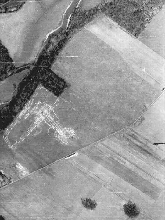
The 'Starfish' decoy site during WWII Modern aerial photo of the 'Starfish' site, courtesy of Multimaps |
RAF aerial photo of Lower Arborfield and Shinfield, dated 10th March 1946, ref. 4042, reproduced by permission of the National Monuments Record, English Heritage.
The top-secret 'Starfish' decoy site at Arborfield Hall Farm was dismantled very promptly once it was no longer deemed necessary, and by March 1946 the area had been almost completely cleared, as can be seen at the top right of this photo. However, the adjacent meadow just to the south had seen a lot of recent activity. Back to Aerial Photos main page
|
|||
|
Any Feedback or comments on this website? Please e-mail the webmaster |