
|
Arborfield
|
|
Properties
Related sites:
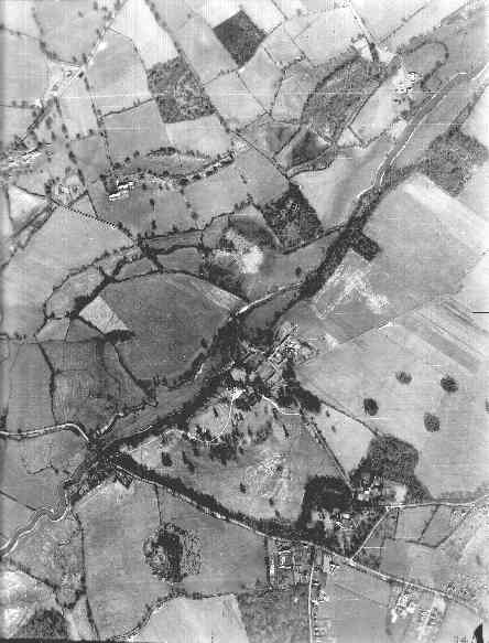
Reading Road, Church Lane, Greensward Lane and Walden Avenue Reading Road further west to the River Loddon Arborfield Road from Shinfield to Loddon Bridge Arborfield Hall and the River Loddon Arborfield Hall Farm towards Church Lane |
RAF aerial photo of Lower Arborfield and Shinfield, dated 10th March 1946, ref. 4042, reproduced by permission of the National Monuments Record, English Heritage. Click on different parts of the photo for close-ups of the main features.
Back to Aerial Photos main page
|
|||
|
Any Feedback or comments on this website? Please e-mail the webmaster |