
|
Arborfield
|
|
Properties
Related sites:
Detailed images: A1
A2 A3
A4
|
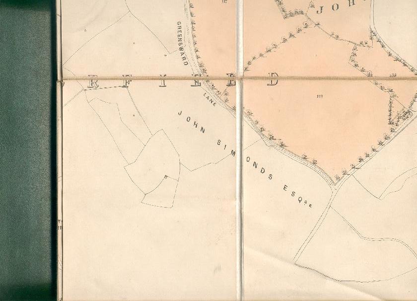
Here is section 'E1' of the Bearwood Estate map covering Hurst Parish (note that there is heavy overlap with the next section down).
Back to Properties Page Back to Hurst Map
|
||
|
Any Feedback or comments on this website? Please e-mail the webmaster |