
|
Arborfield
|
|
Properties
Related sites:
Detailed images for Hurst Parish Map:
Detailed images for Arborfield Parish Map:
|
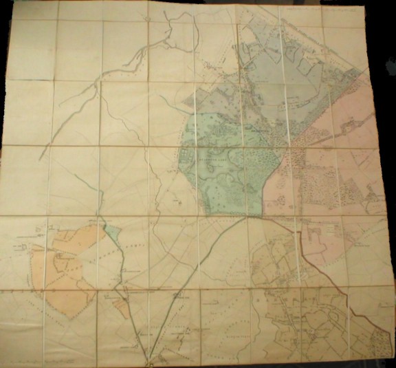
The big Estates usually had a specially-printed map folded into book form with a linen backing. Bearwood Estate has one for Hurst Parish covering the Liberty of Newland, and one for Arborfield Parish, along with others for Barkham and Sandhurst. We are grateful to Bearwood College and their Archivist for permission to publish their Hurst and Arborfield Estate maps on these web pages. The College has a lot of information both about the Royal Merchant Navy School, from which the College evolved, and about the Bearwood Estate and the Walter family. Below is an overall photo of the Hurst Parish map, which has been scanned into several overlapping sections. It begins with 'A1' in the top left-hand corner, down to 'F4' in the lower right-hand, each scanned image covering more than one of the squares that you see here. You can see each section by clicking on the grid on the left of the map (see below). Note that section 'A1' has no map features, so you it is suggested that you start at 'A2'.
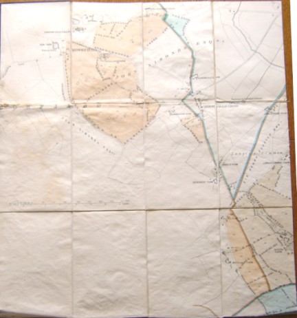
Below is an overall photo of the Arborfield Parish map, which is a re-drawn version of the bottom left-hand corner of the Hurst Parish map. It has been scanned into six overlapping sections. It begins with 'a1' in the top left-hand corner, down to 'c2' in the lower right-hand, each scanned image covering more than one of the squares that you see here. You can see each section by clicking on the grid on the left of the map (see below). Note that section 'c1' has no map features.
|
||
|
Any Feedback or comments on this website? Please e-mail the webmaster |