
|
Arborfield
|
|
Properties
Related sites:
|
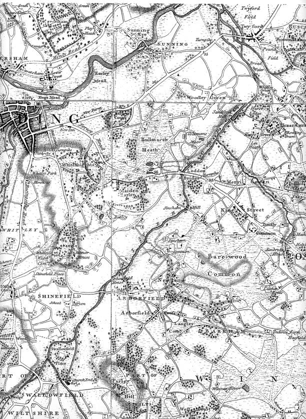
Look also for 'Bullmarsh Heath', which is modern-day 'Bulmershe'. Reading's 'New Town' was not yet in existence. 'Forest Road' is now better known as the Wokingham Road. Was 'Shinefield' named after the water meadows by the River Loddon, shining in the sunlight?
|
||
|
Any Feedback or comments on this website? Please e-mail the webmaster |