|
Arborfield
|
|
Memories
Related sites:
Wokingham District Veteran Tree Association (WDVTA) WDVTA Tree record for Bound Oak
|
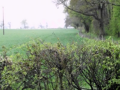
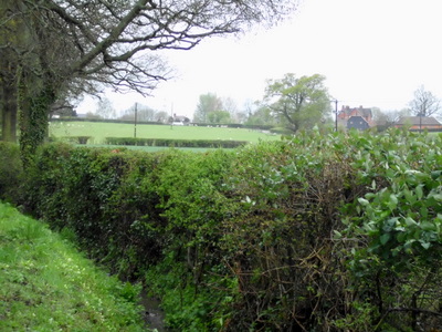
2012 began with a drought that had continued for a couple of years, and from the start everything seemed topsy-turvy. The dawn chorus could be heard in early January, and some daffodils bloomed by the end of the month. Oak trees were in leaf more than a month early, and a hose-pipe ban had to be introduced on 5th April. The River Kennet had been reduced to a trickle in parts, and navigation was severely restricted on the Kennet and Avon Canal. Then it started to rain.... The following photographs document the delightful countryside around Arborfield from January to May 2012, and give some idea of what it's like to explore the unrivalled network of footpaths radiating from the centre. Photos can't capture the sheer variety of birdsong that dominates some areas like the Coombes, around the centuries-old Kenney's Farmhouse or the cacophony of crows and rooks at Arborfield Grange, so it's worth an early morning walk to experience it for yourself. If you have any photographs of Arborfield's countryside that you'd like to share, please let us know. Click on each image for a larger version.
On 16th January, the horse Iris was found wandering along Coles
Lane. She'd escaped from the meadow alongside the Mole Brook, and
was looking for something to eat - the meadow was so dry that little
grass was left, and it was frosty that morning. Martin Smith helped to take Iris into care. The gate from the meadow
was padlocked, so she couldn't be taken back there along Coles
Lane, or led on foot through the ford.
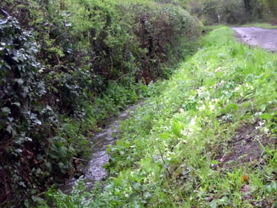
This grassy bank is in Coles
Lane behind the detached houses in School Road.
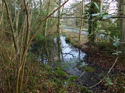
Langley Pond itself, just over the road from the farmhouse, is on the
Arborfield side of the parish boundary. By March, it had dried out
almost completely, revealing the neglected state of the trees strewn
across its surface. This pond has been witness to hundreds
of years of history - is
it worth conserving? By contrast, at the other border of
Arborfield on Castle Hill leading up to
Farley Castle , this un-named pond had been in water
all year, and on occasion it played host to some Mallard ducks. This
photo was taken in mid-March, a fortnight or so before the
hosepipe ban was imposed. Just over the road, off the picture, is the venerable
Bound Oak
along Wokingham
Lane.
In the background on the other side of
the road is a field that used to be Westland's
Copse, long since disappeared. It was often mentioned in
newspaper reports of the Garth
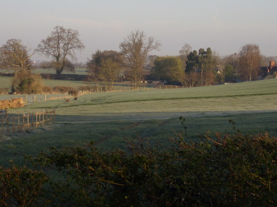
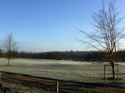
Hunt . Oak trees aren't usually in leaf until May, but they were at
least a month early in 2012. These examples on Newland Farm
were photographed on 6th April, in early morning
frost. The sheep on Newland Farm normally lamb in April, which helped
the farm to avoid any animals being infected with Schmallenberg
virus, which has devastated flocks elsewhere in southern
England. Several young trees that had been planted
around the Bearwood Lakes golf course a few years ago had been transplanted
elsewhere on the course and alongside the public footpath
in early Spring. They needed to be watered daily by bowser. However, in the devastation caused by high winds and storms
on 29th April, six of these trees had been uprooted and needed to be
given stronger support. At least they didn't need watering by this
stage. Note the Canada Geese in the background, with the lake
visible between the trees. In early spring, planings from road
resurfacing work were left in piles on Coombes Lane
and Gravelpithill Lane and at Ellis Hill
Farm
. The material was spread along the lanes and
rolled flat; not many farms have their own road rollers. The work
was carried out in conjunction with Wokingham Borough
Council
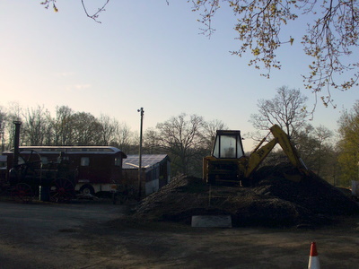
. This view of the farm from 16th April shows a JCB resting on the
remaining pile of road planings. On the left are a preserved
Showman's caravan and a stationary steam engine. The lanes had received a similar surface in the mid-1990s, which
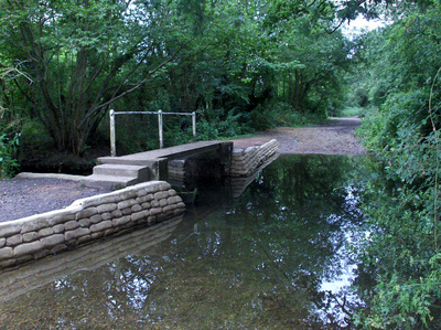
had lasted for well over a decade. By 2010, the footpath next to the ford along Coles Lane had
almost been washed away. However, by June 2010, the path and
footbridge supports were repaired to a high standard, as seen
here. The repaired footpath was able to cope with
fast-running water when the Mole Brook overflowed, and was put
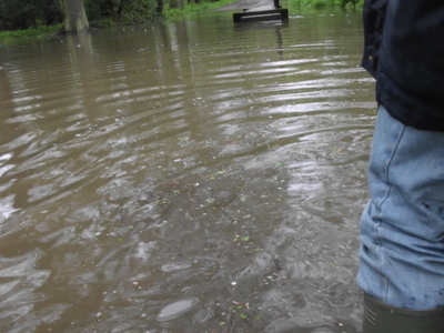
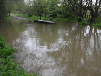
to the test on 29th April. After several days of heavy showers, an
overnight storm caused the Mole Brook to flood, as shown in the next
photograph. Another view from 29th April shows that the
Mole Brook had overflowed spectacularly. By
mid-afternoon, the meadows between Arborfield and Shinfield
alongside the River Loddon were submerged. The Mole
Brook added to the Loddon's flow near Carters
Hill
. Two days later, Mill
Lane in Sindlesham was inundated, and
the hotel car park
was under water. The Cinema Park and
Ride
was closed for four days. The field drain alongside Hazelton's
Copse was gushing water into
an already-swollen ditch alongside Coles Lane on 29th
April. This view is taken from the same photograph
as the field drain shown above. No fewer than three
deer
can be seen making their way along the edge of the field. They
are often seen around Hazelton's Copse. For many months, this field had been the
territory of a buzzard ,
who could often be seen perched either in a nearby tree or on
the electricity cables that supply Newlands Farm. The same primrose bank, looking in the other direction towards the
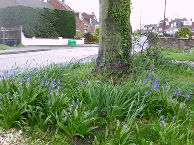
ford. Coles Lane itself became a mini-stream on 29th April. The primroses had been in bloom for about a month. Wild bluebells
had started appearing at the beginning of April, but the cold wet
weather stopped them growing much more until the beginning of
May. On 29th April, there were far more bluebells in bloom in local
gardens than in the woodlands. In the background can be seen one of the grit boxes
installed following the snows of 2010. Mercifully, they weren't
needed in early 2012. The footpath to Long Copse, on the west siode of
the village, had been as dry as a bone since the beginning of 2012.
The rains of April and early May had turned the surface into
glutinous mud, as seen here on Mayday bank holiday. By early May, in the Coombes, once-solid footpaths showed much
evidence of hoof-prints and tyre-marks where
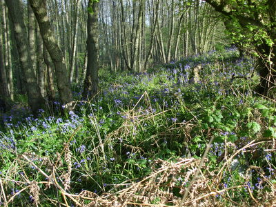
they shouldn't have been. At last, the wild bluebells were in full bloom in Long Copse
on Mayday bank holiday. However, they were nowhere near as abundant
as in previous years. Cuckoos could be heard around Long Copse from at least as
early as Easter Day in 2012, and one was heard on Mayday Bank
Holiday Monday. Bound Oak
was again in leaf in 2012, producing quite a canopy by 7th May. Alongside can be seen the markers for the oil
pipeline that runs through the parish. Bluebells could also be seen in Pound
Copse off Greensward Lane
on 7th May, but again they were more sparse than normal thanks to
several weeks of cold and rain. This woven fence had been erected in Pound Copse over
the previous
winter. Despite the soaking, the hosepipe ban remained in force.
|
||||||||||||||||||||||||||||||||||||||||||||||
|
Any Feedback or comments on this website? Please e-mail the webmaster |


